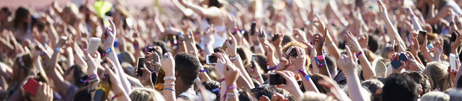
Static image analysis is used to accurately determine the number of people at a given moment in a specific location. This allows city administrations and event organisers to better plan logistics, safety measures and medical services, and also provides important insights for evaluating those events, such as attendance or occupancy of reserved spaces. It is an ideal tool for monitoring public gatherings such as sports matches, pilgrimages or fairs, farmers' markets, concerts and other cultural events, as well as everyday crowds in squares, train stations or crossings. Thanks to detailed information about public-space utilisation, better decisions can be made about the placement of new public facilities, green areas, street furniture and urban infrastructure, which in turn increases the quality of the environment and standard of living for residents.
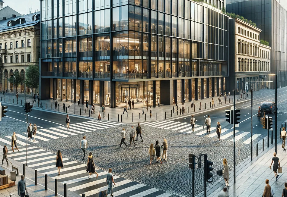
A dynamic view of how people move in different parts of the city provides cities with key data thanks to which they can more efficiently plan public-transport routes, set its frequency and capacity to best meet the current needs of residents. They can also identify overloaded areas and provide important information for designing safety measures and creating accessible public spaces. Beyond the counts themselves, this technology allows analysis of people's behaviour, tracking the routes they take, where they congregate and what the peaks of foot traffic are. This deep analysis of movement and concentration of people is indispensable for intelligent and thoughtful urban planning that responds to the real needs and behaviour of residents. The result is a smart city that efficiently uses its resources and infrastructure and is maximally tailored to the needs of its inhabitants.